All sorts of South Dakota politicos are swarming the Black Hills this weekend for Monday's big buffalo round-up at Custer State Park. (Funniest photo-Tweet so far: Daugaard aide Tony Venhuizen comments on Lt. Gov. Michels's encounter with a donkey.)
Alas, Custer State Park is a little out of my cycling range. But I could almost see it from my cycling destination this morning: Terry Peak.

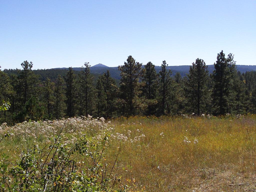
I went up Spearfish Canyon and Highway 85, then turned south toward a place called Frosty Meadows. I think that's Custer Peak in the distance, but those darn trees kept getting in the way. Time to climb!

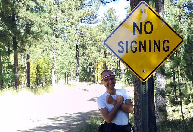
Up Terry Summit Road, I found this sign that Governor Daugaard will surely want to remove. Either that, or he'll order the road renamed to Wiseguy Pass: three nice ladies from Rapid City pulled up in their Jeep to take the same picture. The Rapid City ladies also welcomed me to "the right side of the state." I politely acknowledged that this side of the state is quite beautiful.)

This sign should have been all along the two miles of mostly guardrail-less gravel that leads to the summit... with exclamation points!
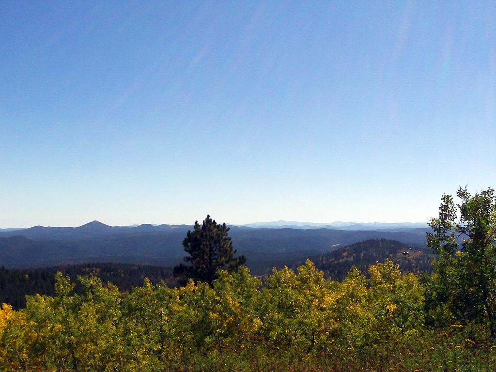
But then there's this view from atop Terry Peak, 7064 feet above sea level, about 3400 feet higher than where I started my day:
Here's that view south toward the central Hills without the towers and guy wires:

Wow. Gentlemen (and ladies, too), if you haven't told South Dakota how beautiful she is, please take a moment to do so right now.
That's two 7000-footers down. Now if I can just catch up with Larry...

Opening view sheds must be the work of Dendroctonus ponderosae 'cause it sho' nuff ain't the work of us homos.
What the hell is that sign trying to say?
The sign probably should say "No Traffic Signage ahead".